Get the new, free Micronesia Tour App!          
 

Why I Lve Micronesia

NEW!
NEW!


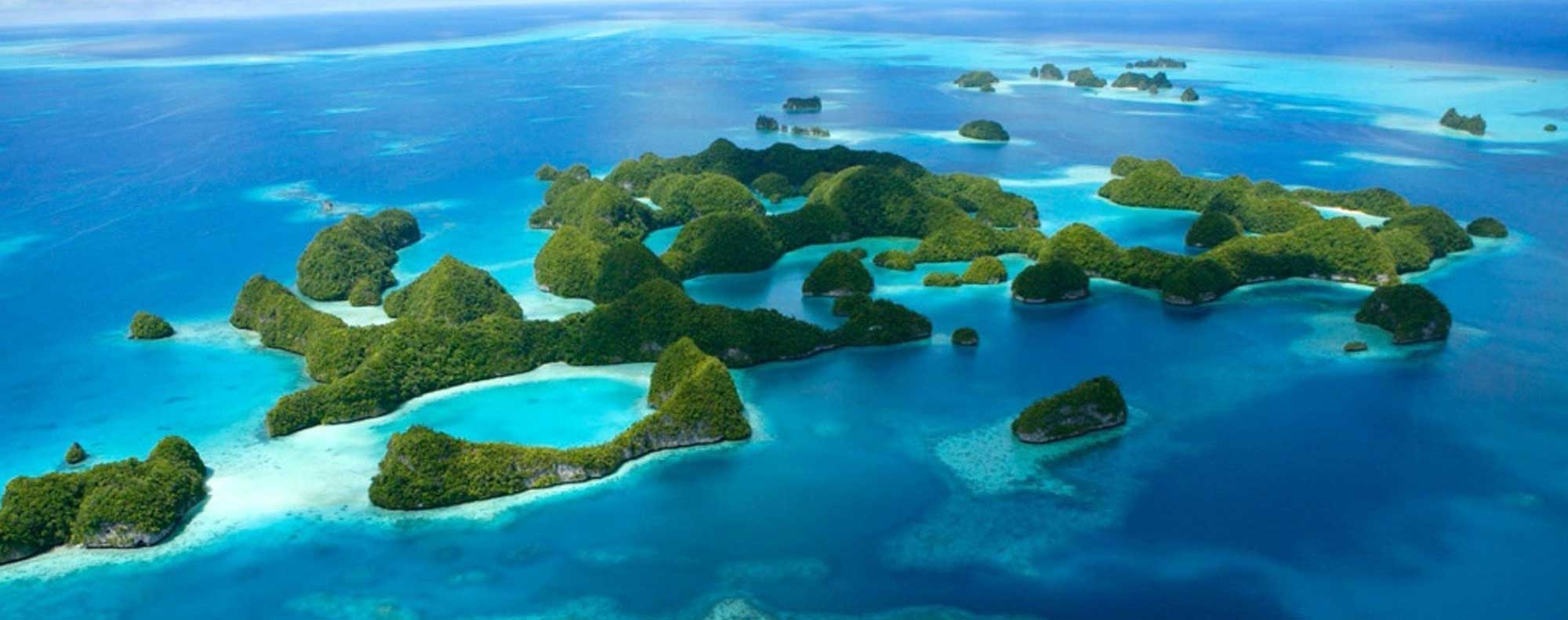
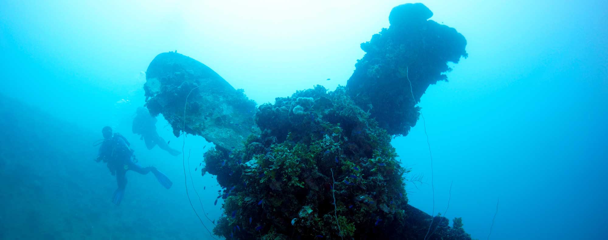
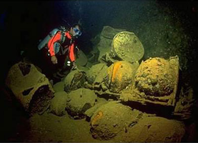
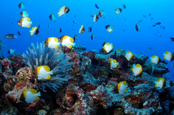
As Guam and Micronesia's hometown airline for over 50 years, UnitedSM is your ticket to unlocking Micronesia — more than 2.9 million square miles across the Pacific known to the world for its incredible underwater attractions. With more than 2,100 islands in the region, and a variety of deep history and culture, adventure awaits in magnificent Micronesia. These islands boast some of the world's most famous wreck dives, where adventurers can experience incredible World War II history alongside vibrant marine life.


Why Micronesia?

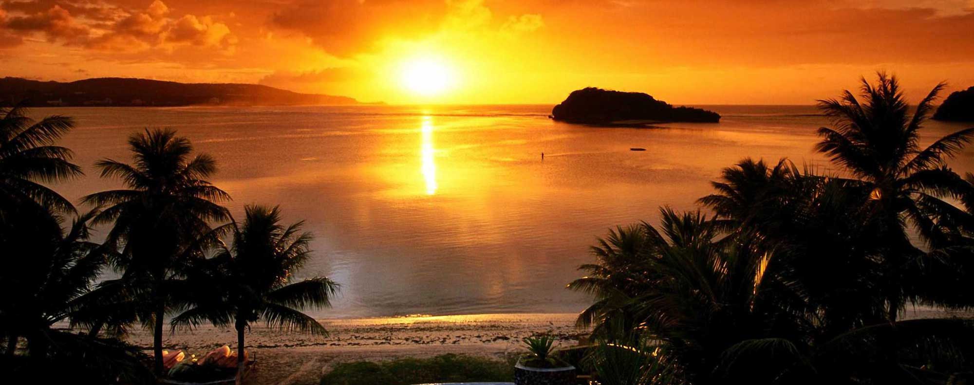
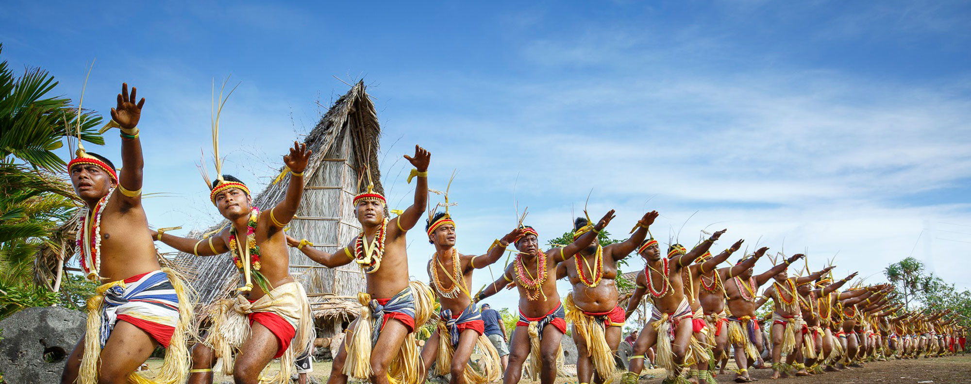
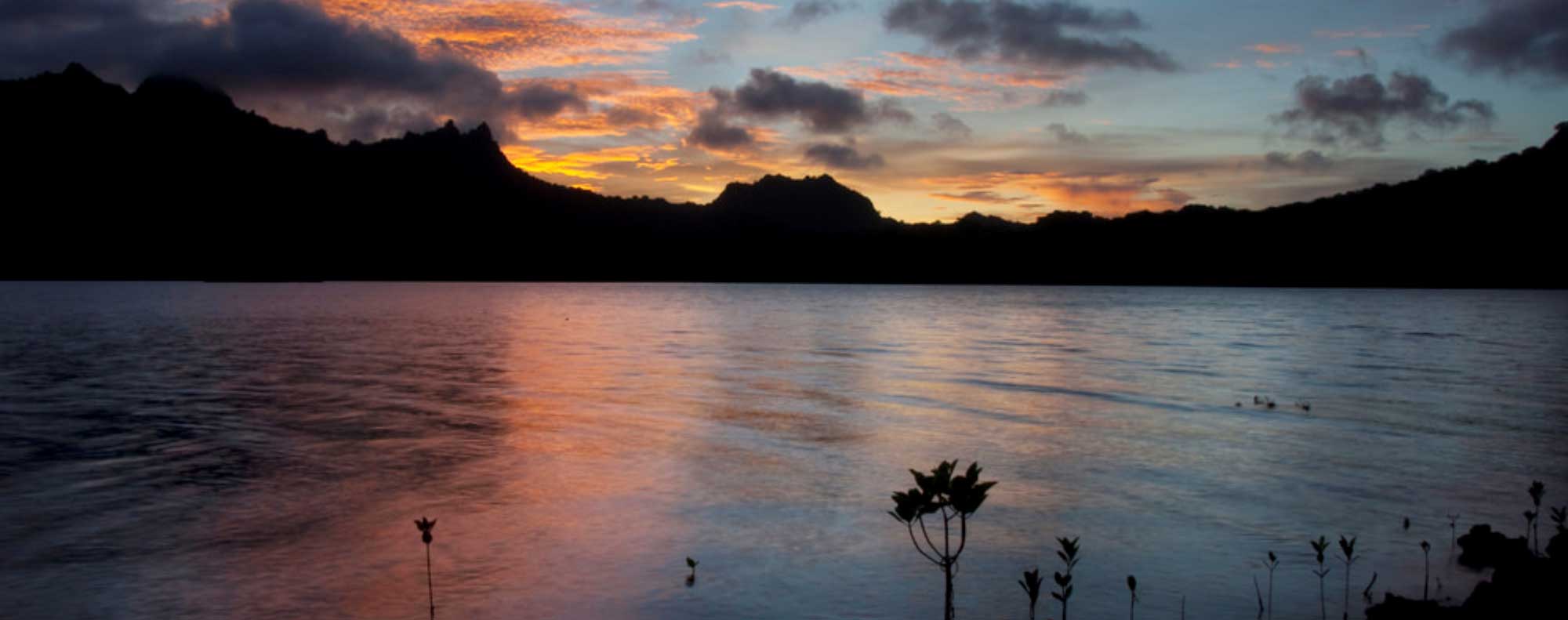
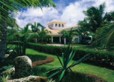
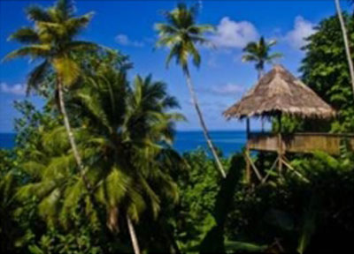
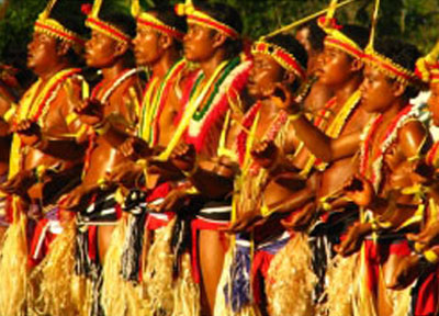
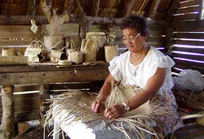
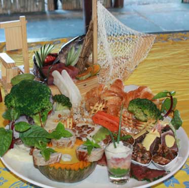
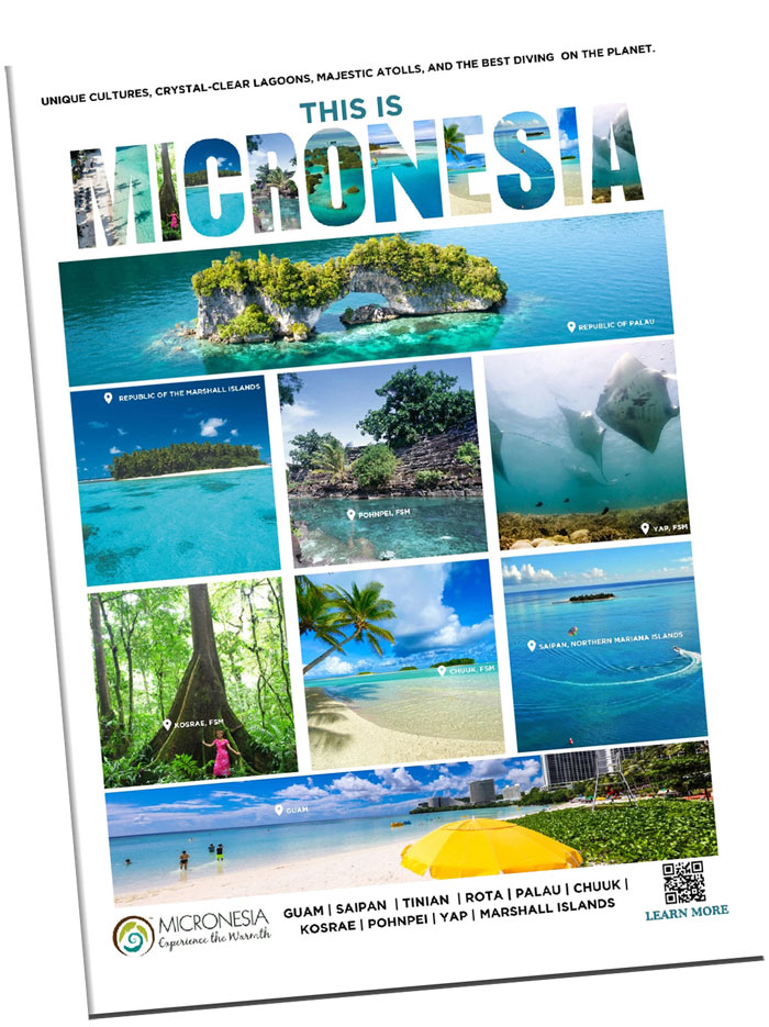
Welcome to Micronesia, a spellbinding world abounding with warm caressing breezes, captivatingly rich culture and exotic adventure all dancing around in unison under the thick golden rays of an arching tropical sun. The mysterious, the magical and the modern sides of life all lie within easy reach for the welcomed visitor, just like a swollen ripe mango dropping from a mango tree into a waiting hand.


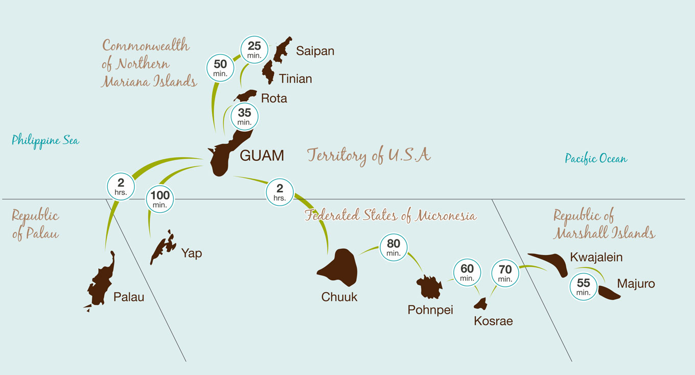
Together with Guam, Micronesia comprises of the Commonwealth of the Northern Mariana Islands, the Republic of the Marshall Islands, the Federated States of Micronesia and Palau, with each different island chain offering a unique and unforgettable experience.

ISLANDS OF MICRONESIA

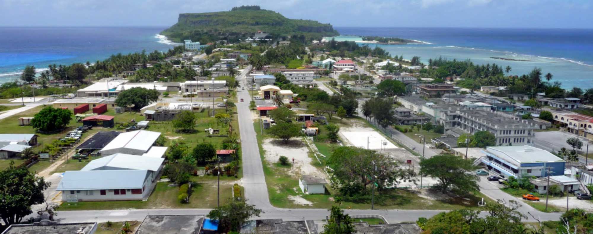
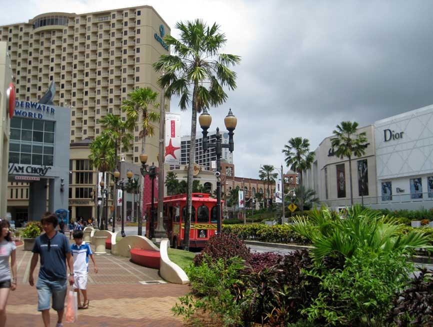
Guam, a U.S. territory, is the largest and most populous island, considered the “gateway” to Micronesia and a hub for the region.


The Commonwealth of the Northern Mariana Islands (CNMI) is a U.S. Commonwealth consisting of 14 islands just to the north of Guam, and along with Guam, forms the Mariana Islands archipelago.


The Federated States of Micronesia (FSM) and Palau are both independent island nations in a Compact of Free Association with the U.S. and together make up the nations in Caroline Islands archipelago to the south of Guam.


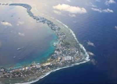
The Republic of the Marshall Islands is also an independent island in a Compact of Free Association with the U.S. approximately 1500 miles to the east of Guam, and is comprised of many small low lying islands and atolls.


Click Here to View Desitinations of Micronesia


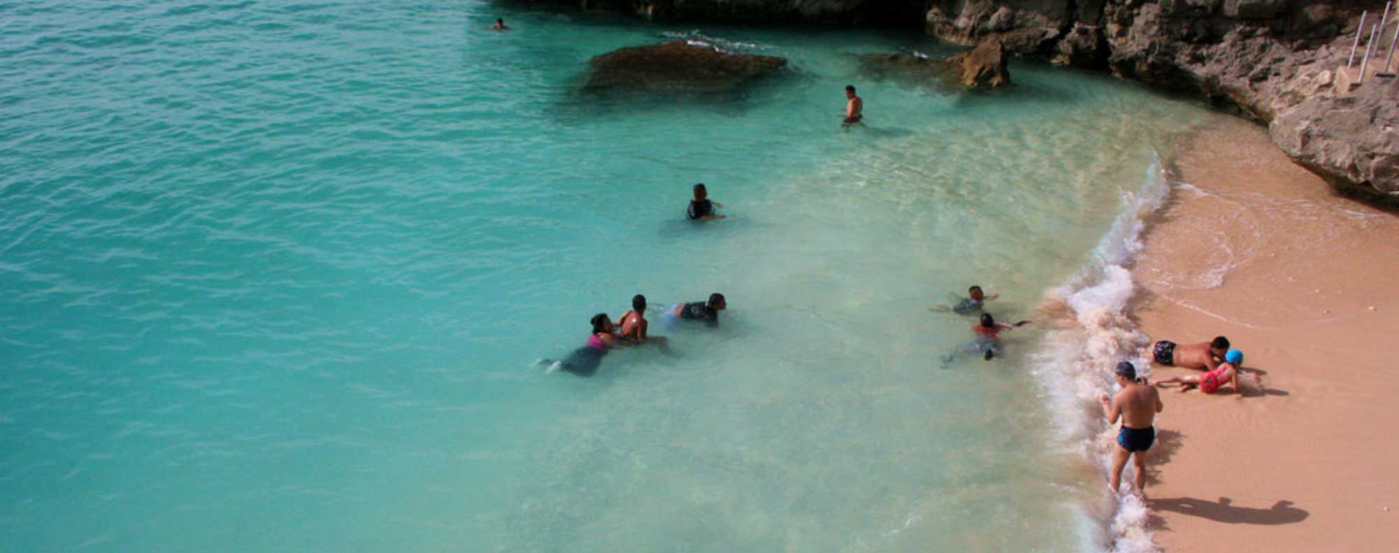
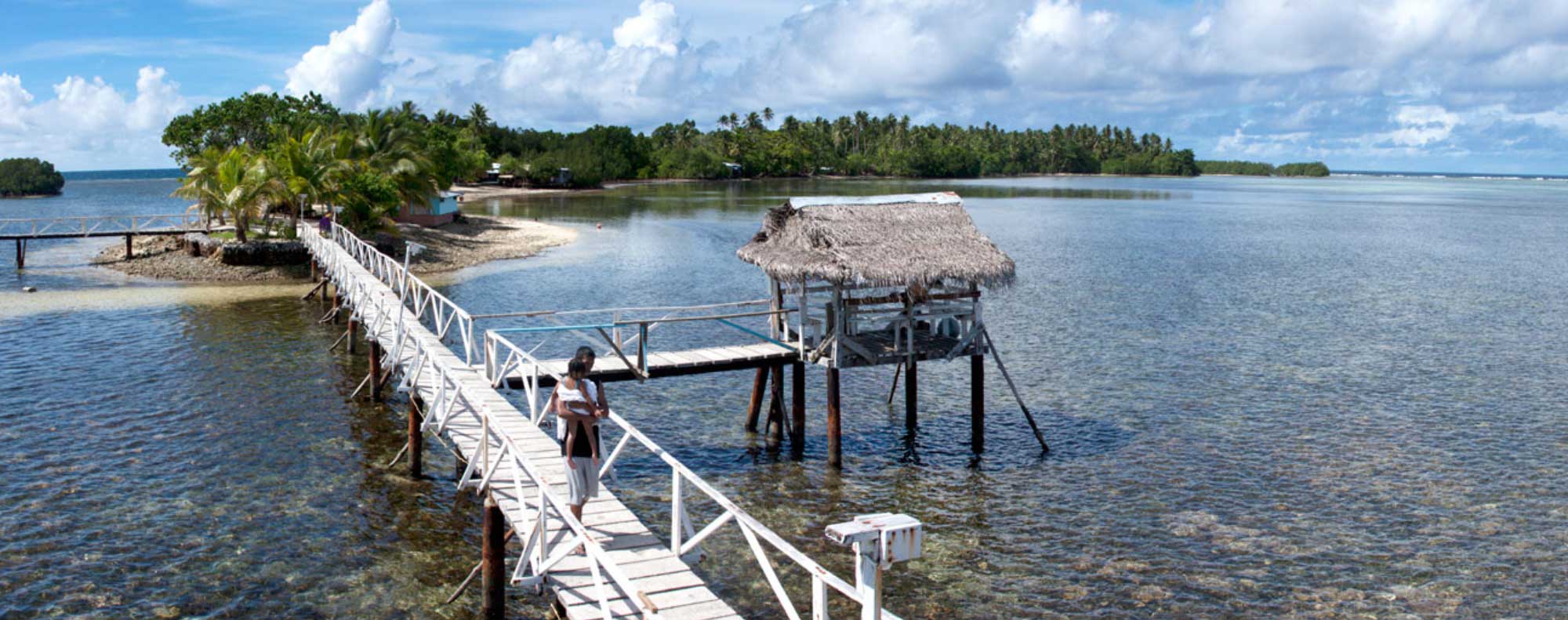
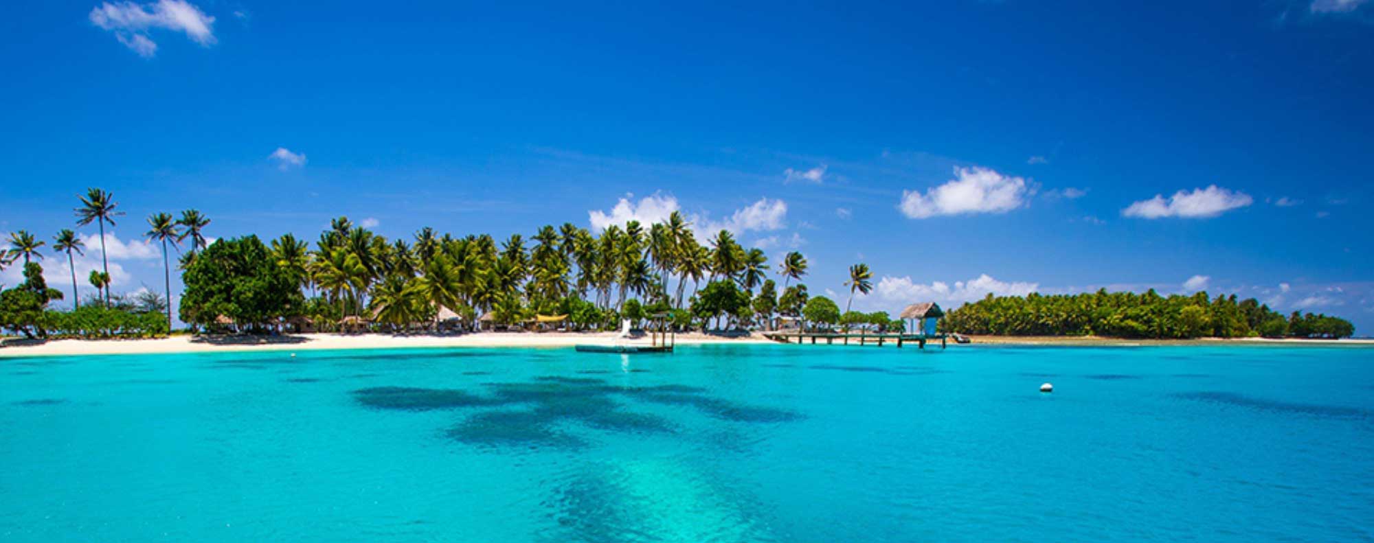
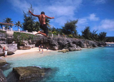
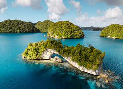
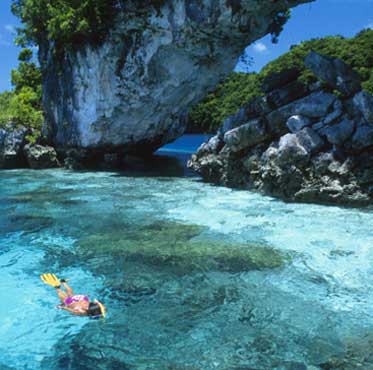
For those of us who seek out locations where dreams long for reality, there are still a few left in the world where unspoiled landscapes, epic adventures and the romance of a secluded lagoon and forgotten beach can become reality.  Beneath expansive azure skies and seemingly infinite stretches of both turquoise and deep blue water ahead, the region of Micronesia is still one of those places.

As modern technology and communication connect the world at an ever greater pace and the once exotic places of yesterday become increasingly rare today, it is refreshing to find hidden jewels still available for exploration, admiration, and yes, even relaxation.

Boonie Stomp- Moonie Stomp - Mt. Jumullong

July 28  Moonie Stomp - Mt. Jumullong  Medium 
 
We hike to see some US foxholes from WWII, the WWI gun positions and their command post, optionally walking the knife edge trail. We exit by either the Medium Maguagua Falls trail or the difficult Tarzan Falls route. Bring: 3 to 4 quarts of water, hiking shoes, gloves, sunscreen, insect repellent, lunch, snacks, and camera. Special conditions: sword grass, steep rocky or muddy slopes, and long distances for the Tarzan Falls option.

Boonie Stomp- Libugon to Fonte Swim Hole

July 28   Libugon to Fonte Swim Hole    Medium  3 hours for 2 miles
 
We’ll visit the ruins of the historic site of the U.S. Navy radio station and “Operation Magic”, hidden in the thick jungle. Then we’ll hike to the 1910 brick dam, climb to the excellent lookout, and explore the valley downstream to cool off in the waterfalls and pools. Bring: 2 quarts water, wet shoes, gloves, swim suit, sun screen, insect repellent, lunch, and camera. Special conditions: Sword grass, mud, and some short steep slopes.

Boonie Stomp- Invasion Route to Tony’s Falls

July 21   Invasion Route to Tony’s Falls    Difficult    4 hours for 2 miles
 
NOTE: Due to the Parade, we will be meeting at the Asan Beach Unit of the War in the Pacific Park.We retrace the July 21 route of the U.S. Third Marine Division from Asan beach to the cliffs above, then end up by cooling off at a nearby waterfall. Bring: 3 quarts water, good shoes, gloves, swim suit, sun screen, sunglasses, insect repellent, lunch, and camera. Special conditions: Sword grass, very steep slopes, a long uphill hike, and walking in water.

Boonie Stomp- Tinta, Faha, and Priest’s Pools

July 14   Tinta, Faha, and Priest’s Pools    Medium    3 hours for 2 miles
 
We hike to the two sites in Merizo where village residents were massacred just before the Liberation of Guam. We then walk along a narrow ridge with spectacular views to cool off in the freshwater pools of the Pigua River with, waterfalls, jumping, and swimming. Bring: 2 quarts water, gloves, swim suit, sun screen, sunglasses, insect repellent, lunch, and camera. Special condition: possible muddy trail, mosquitoes.

Boonie Stomp- Liberation Stomp

July 07   Liberation Stomp    Easy / Medium    4 hours for 1 miles
 
As we approach Guam’s Liberation anniversary, we offer a perfect introduction to Guam’s WWII history and a great family hike. We travel by car to several sites from the Liberation of Guam in July 1944, including Asan Beach, Asan Bay Overlook, Piti Guns, Ga’an Point and Mt. Alifan. Bring: 2 quarts water, hiking shoes, gloves, sun screen, insect repellent,lunch, and camera. Special conditions: Short climbs and possible slippery slopes, some sword grass at Mount Alifan.

Boonie Stomp: Mt. Tenjo to Maguagua

Mt. Tenjo to Maguagua Medium     2.5 hours for 1.5 miles

We hike to see some US foxholes from WWII, the WWI gun positions and their command post, optionally walking the knife edge trail. We exit by either the Medium Maguagua Falls trail or the difficult Tarzan Falls route. Bring: 3 to 4 quarts of water, hiking shoes, gloves, sunscreen, insect repellent, lunch, snacks, and camera. Special conditions: sword grass, steep rocky or muddy slopes, and long distances for the Tarzan Falls option.

Boonie Stomp - Gun Beach to Tanguisson

June 23   Gun Beach to Tanguisson    Medium    3 hours for 2 miles
 
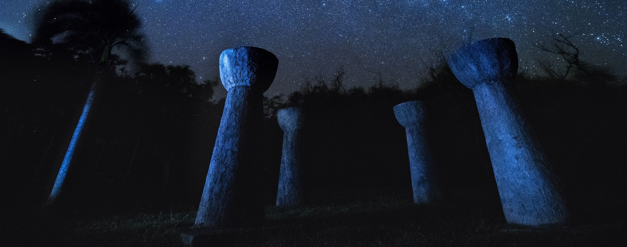
A picturesque beach and reef walk brings us first to ancient Latte stones in the Fafai’ jungle, then along a great reef walk with lots of fish and critters ending at the base of Two Lovers Point, a great snorkel spot, and finally the shrine at Tanguisson. Bring; 2 quarts water, wet shoes, swimsuit, snorkeling gear, gloves, insect repellent, sun screen, lunch, and camera. Special conditions: Some walking in water and over rough rocks, little shade.

Pages