Events
ENJOY THESE EVENTS AS THEY HAPPEN ACROSS MICRONESIA!
SAIPAN
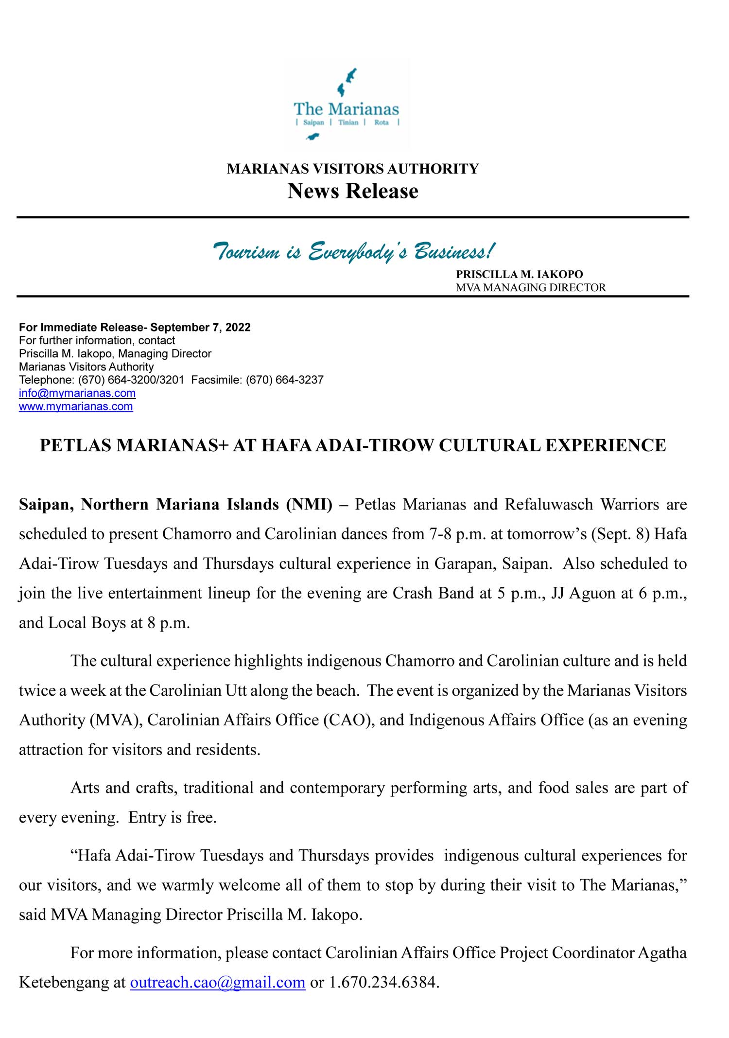
Saipan’s Hafa Adai-Tirow Tuesdays and Thursdays
- Cultural Events
- Thursday, September 8, 2022, Tuesday, September 13, 2022, Thursday, September 15, 2022, Tuesday, September 20, 2022, Thursday, September 22, 2022, Tuesday, September 27, 2022, Thursday, September 29, 2022
Virtual
2022 Second General Membership Meeting - Virtual
- Cultural Events
- Thursday, September 29, 2022
SAIPAN
Saipan’s Hafa Adai-Tirow Tuesdays and Thursdays
- Cultural Events
- Thursday, September 8, 2022, Tuesday, September 13, 2022, Thursday, September 15, 2022, Tuesday, September 20, 2022, Thursday, September 22, 2022, Tuesday, September 27, 2022, Thursday, September 29, 2022
CNMI
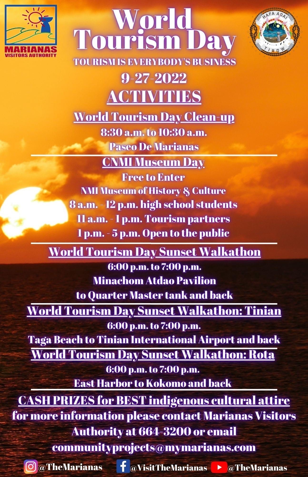
World Tourism Day - CNMI
- Cultural Events
- Tuesday, September 27, 2022
On Sept. 27, 2022, The Marianas will join the global travel and tourism community in celebrating the United Nations World Tourism Day!
We invite everyone to join our World Tourism Day Sunset Walkathons, cleanups, and other events scheduled on Rota, Tinian, and Saipan. Let's celebrate The Marianas #1 industry - tourism!
#TheMarianas #MyMarianas #WorldTourismDay
We invite everyone to join our World Tourism Day Sunset Walkathons, cleanups, and other events scheduled on Rota, Tinian, and Saipan. Let's celebrate The Marianas #1 industry - tourism!
#TheMarianas #MyMarianas #WorldTourismDay


