

16th Annual Guam Governor’s Cup Ladies Golf Tournament
16th Annual Guam Governor’s Cup Ladies Golf Tournament (15-16 Feb) at LeoPalace Resort - Guam


 ve Micronesia
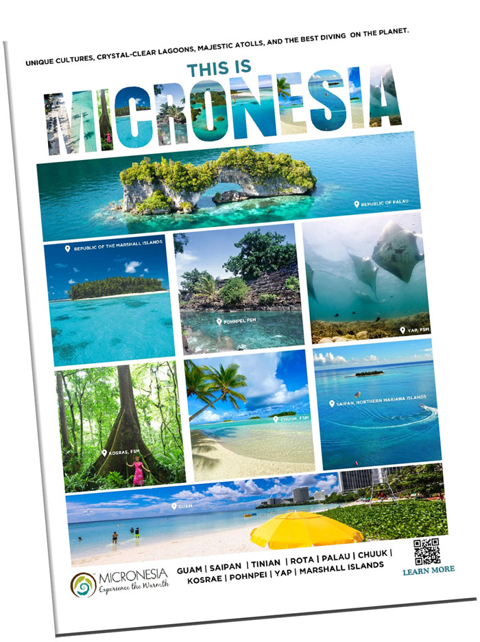
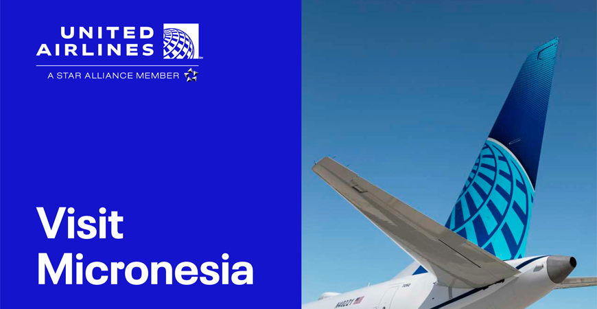
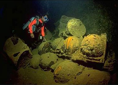
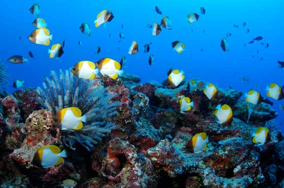
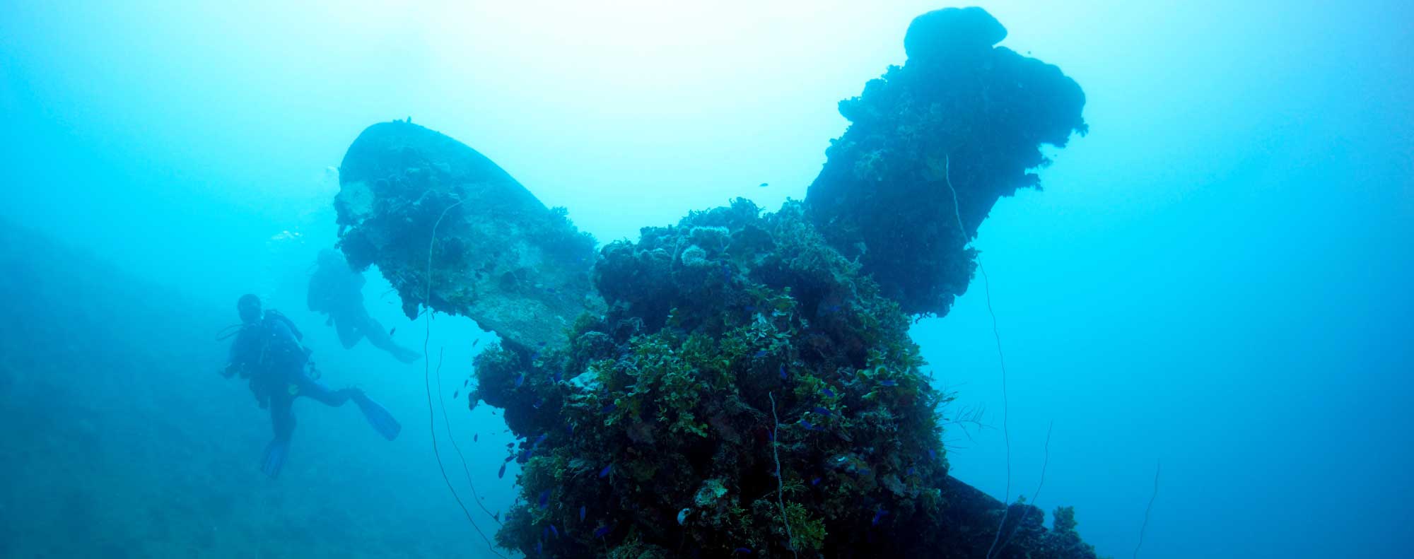
As Guam and Micronesia's hometown airline for over 50 years, UnitedSM is your ticket to unlocking Micronesia — more than 2.9 million square miles across the Pacific known to the world for its incredible underwater attractions. With more than 2,100 islands in the region, and a variety of deep history and culture, adventure awaits in magnificent Micronesia. These islands boast some of the world's most famous wreck dives, where adventurers can experience incredible World War II history alongside vibrant marine life.
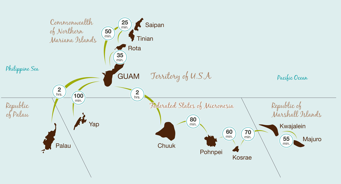
ROTA TO SAIPAN
GUAM TO SAIPAN
GUAM TO ROTA
GUAM TO PALAU
GUAM TO YAP
GUAM TO CHUUK
CHUUK TO POHNPEI
POHNPEI TO KOSRAE
KOSRAE TO KWAJALEIN
KWAJALEIN TO MAJURO
Three Islands, Three Times the Fun
Three Islands, Three Times the Fun
Three Islands, Three Times the Fun
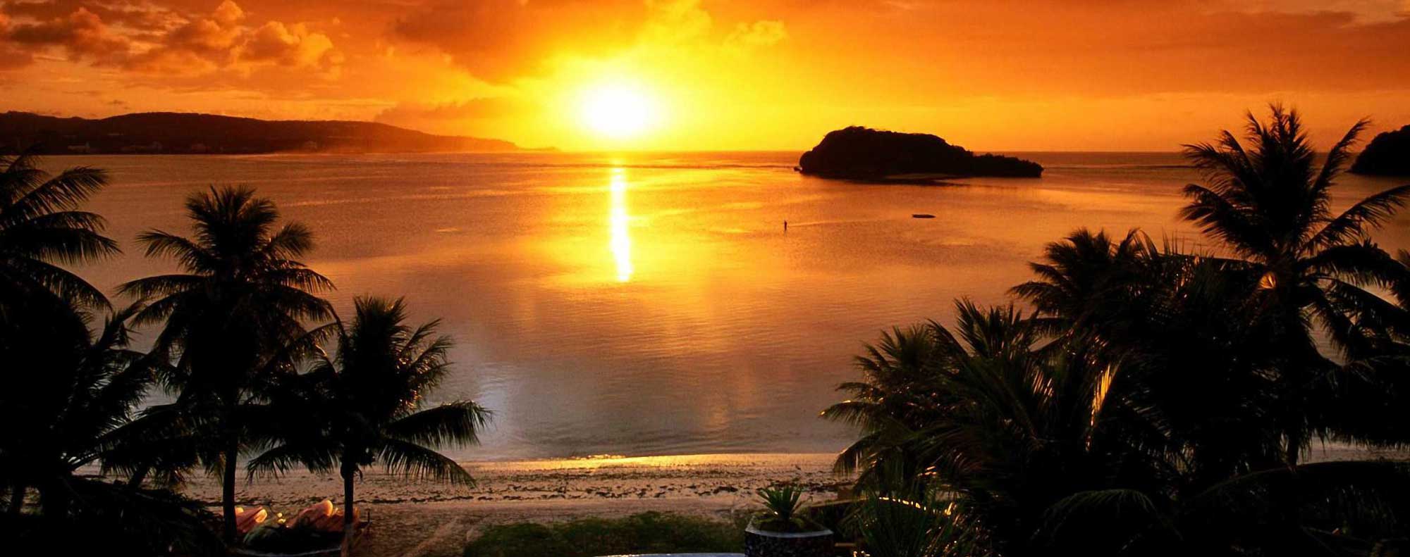
Where America’s Day Begins
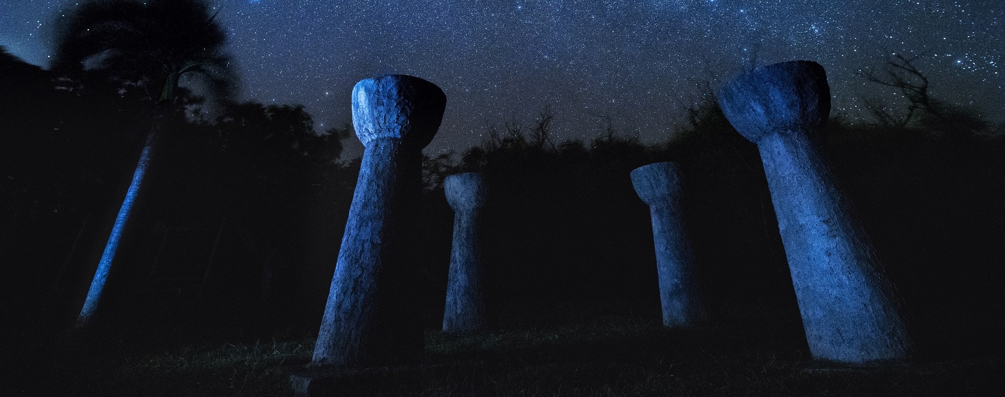
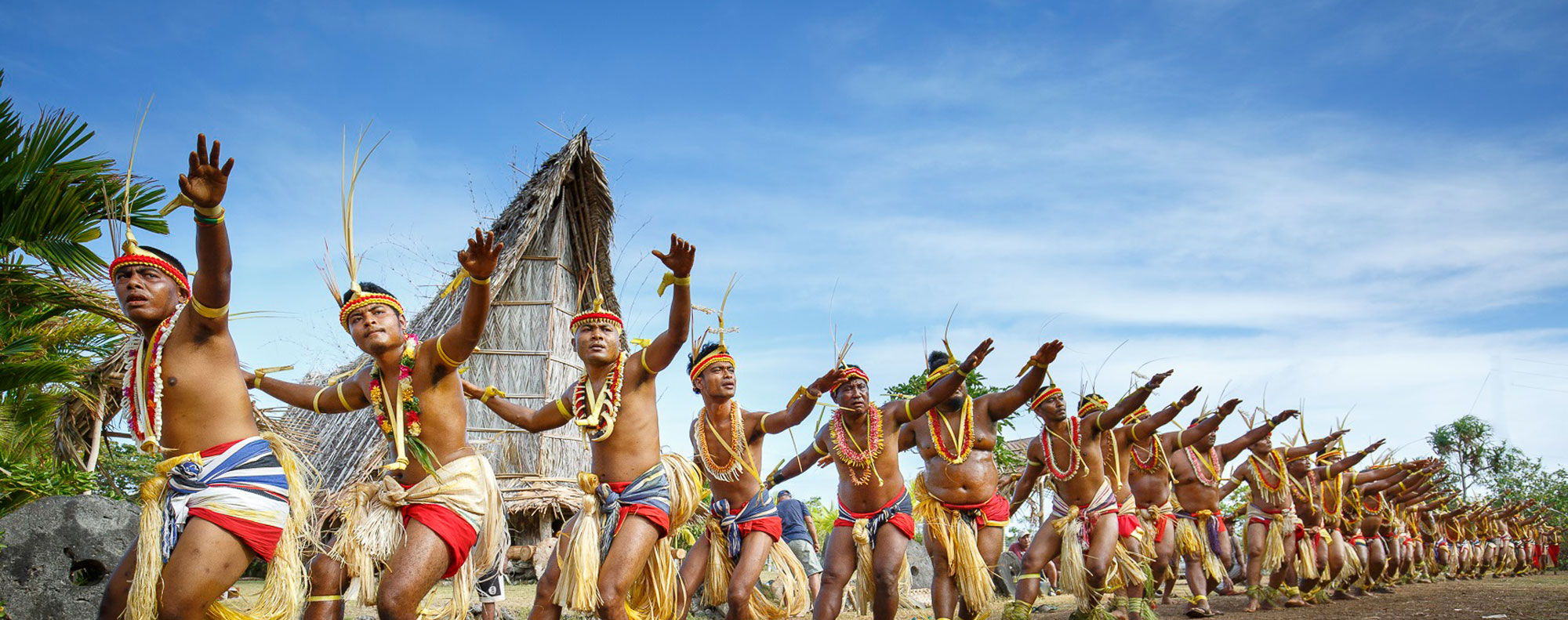
The Only Place on Earth Where Nature is in Harmony with the People, Culture, and Tradition
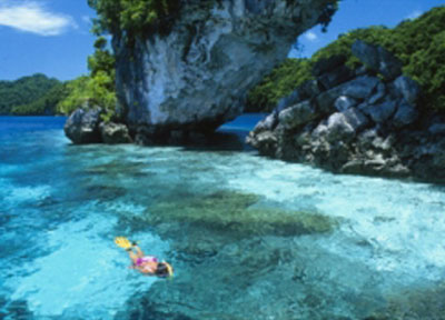
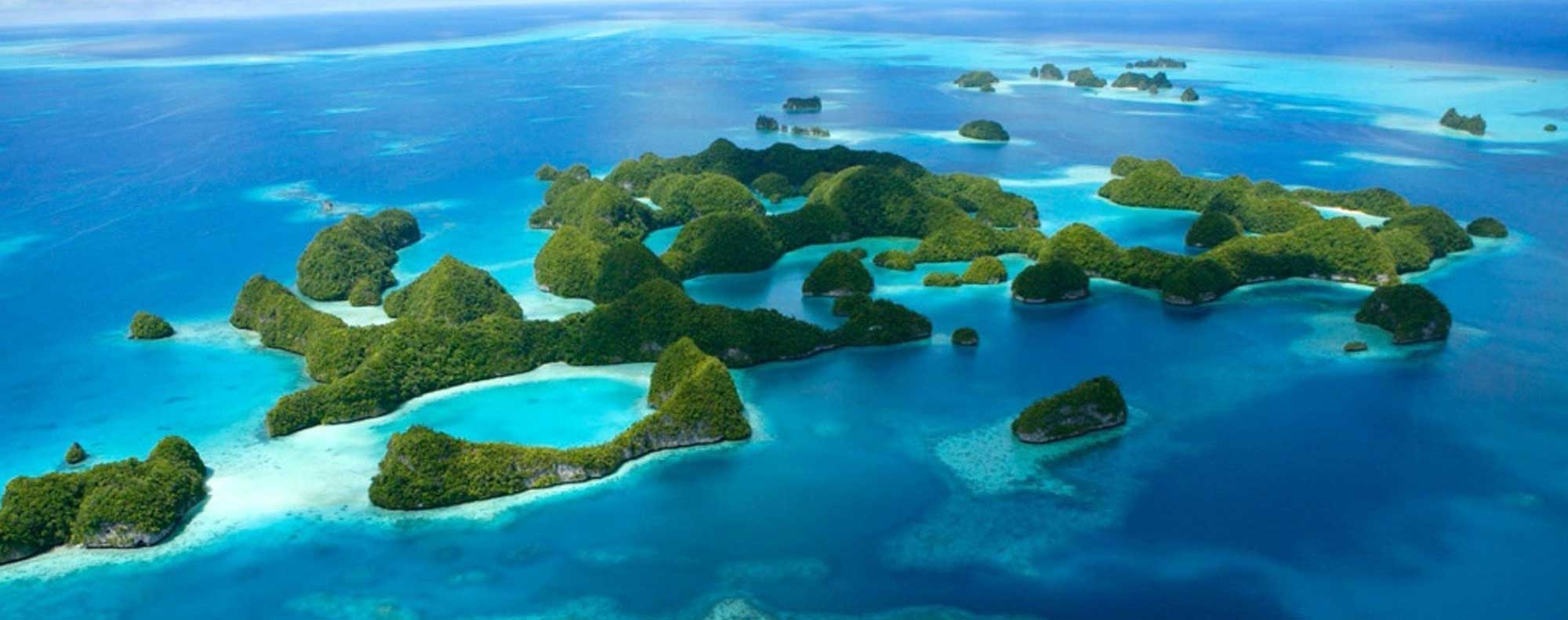
Experience the Wonders of Palau…Rainbows End
Diver’s Haven
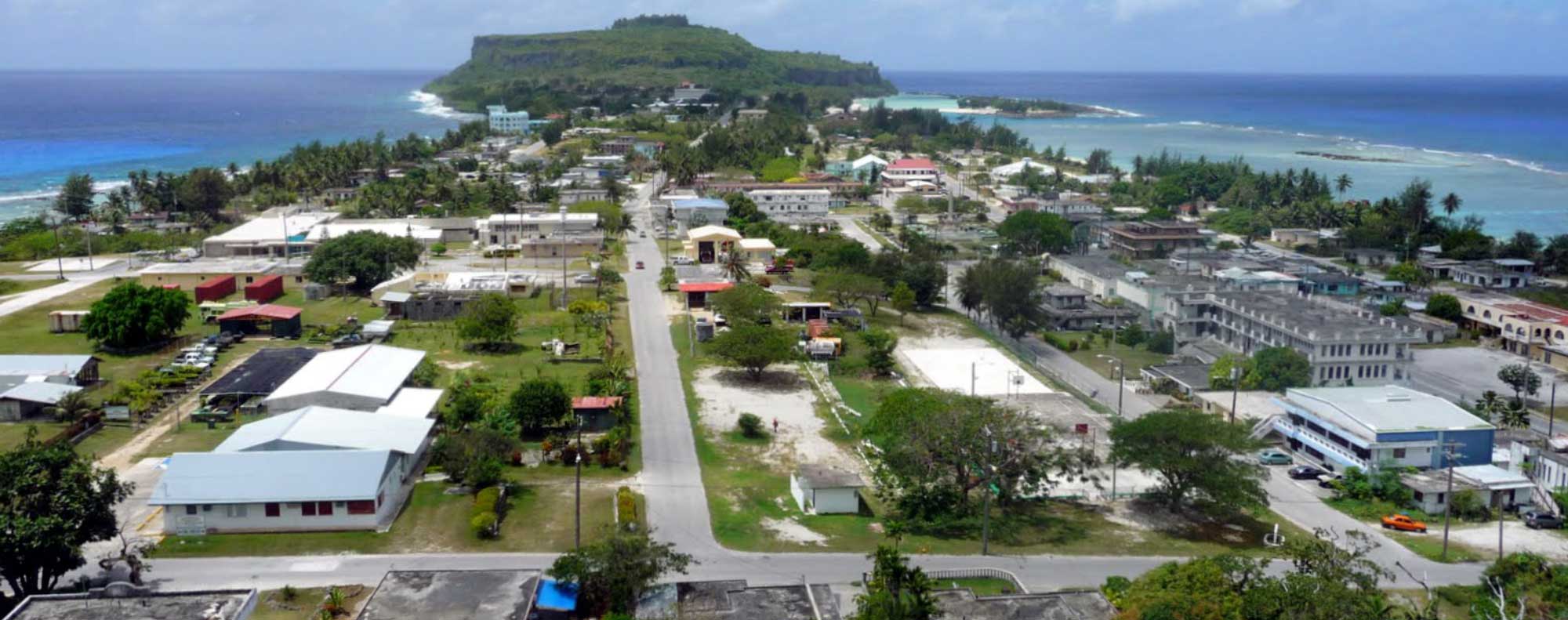
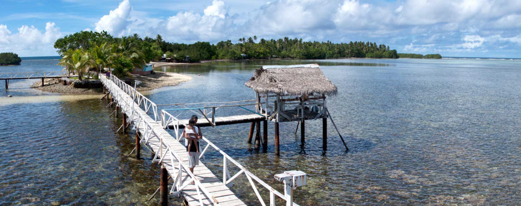
The Garden Island of Micronesia
The Jewel of Micronesia
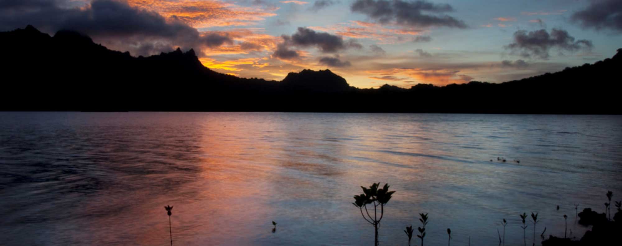
Pearl of the Pacific
Pearl of the Pacific
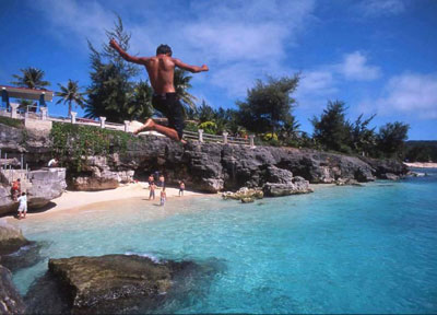
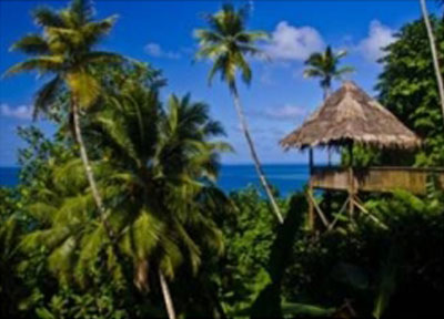
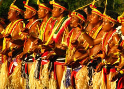
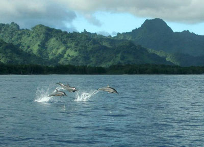
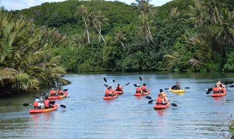
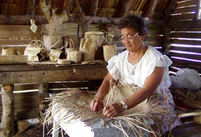
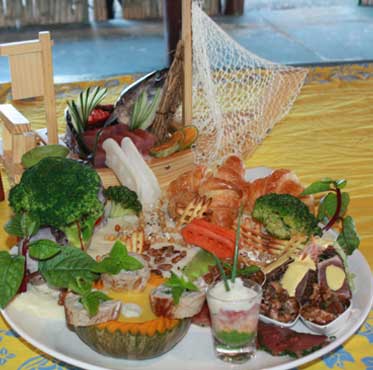
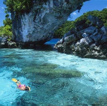
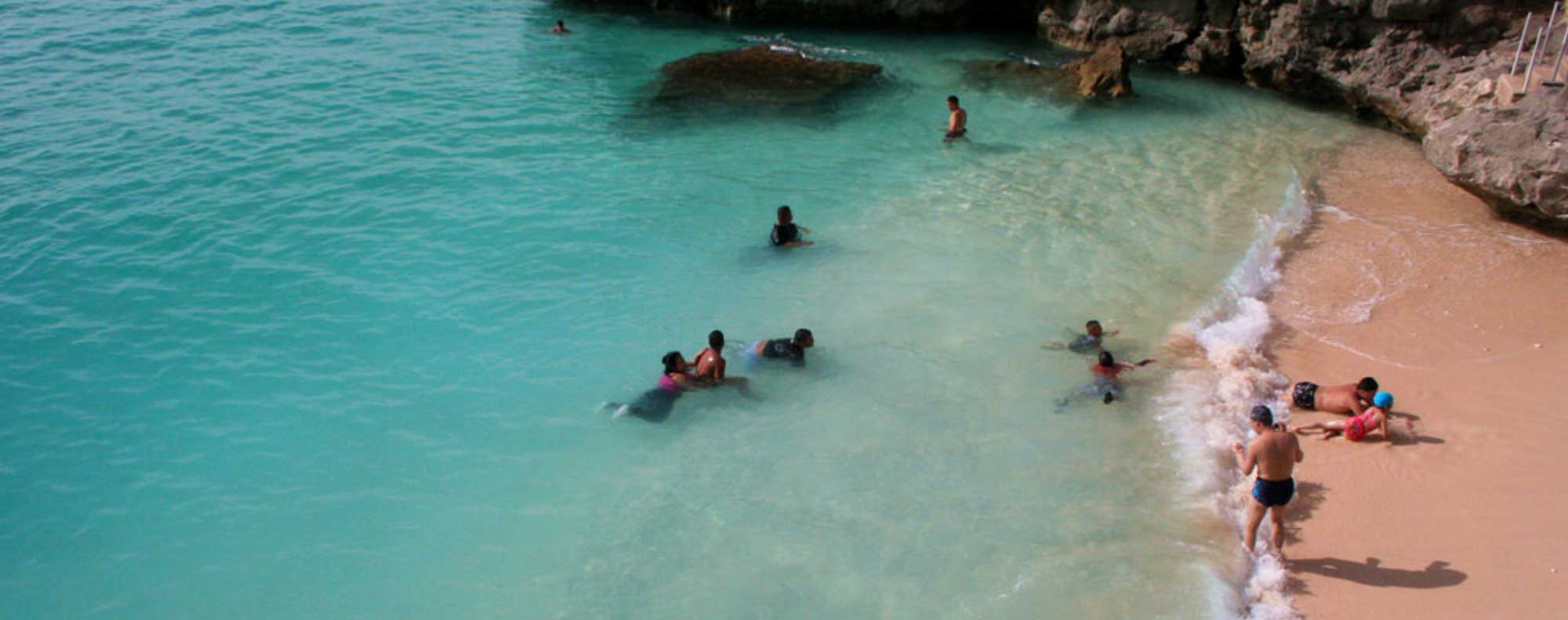
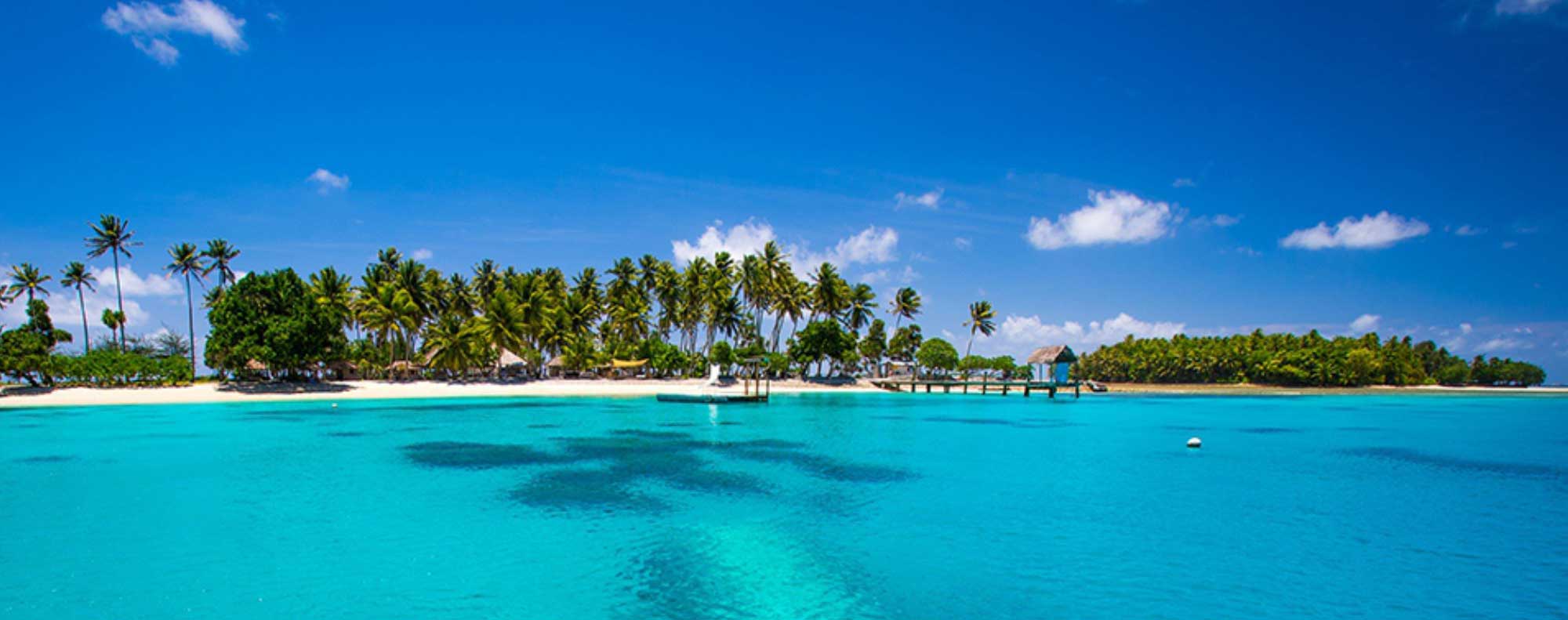
Welcome to Micronesia, a spellbinding world abounding with warm caressing breezes, captivatingly rich culture and exotic adventure all dancing around in unison under the thick golden rays of an arching tropical sun. The mysterious, the magical and the modern sides of life all lie within easy reach for the welcomed visitor, just like a swollen ripe mango dropping from a mango tree into a waiting hand.
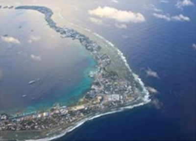
Together with Guam, Micronesia comprises of the Commonwealth of the Northern Mariana Islands, the Republic of the Marshall Islands, the Federated States of Micronesia and Palau, with each different island chain offering a unique and unforgettable experience.
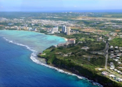
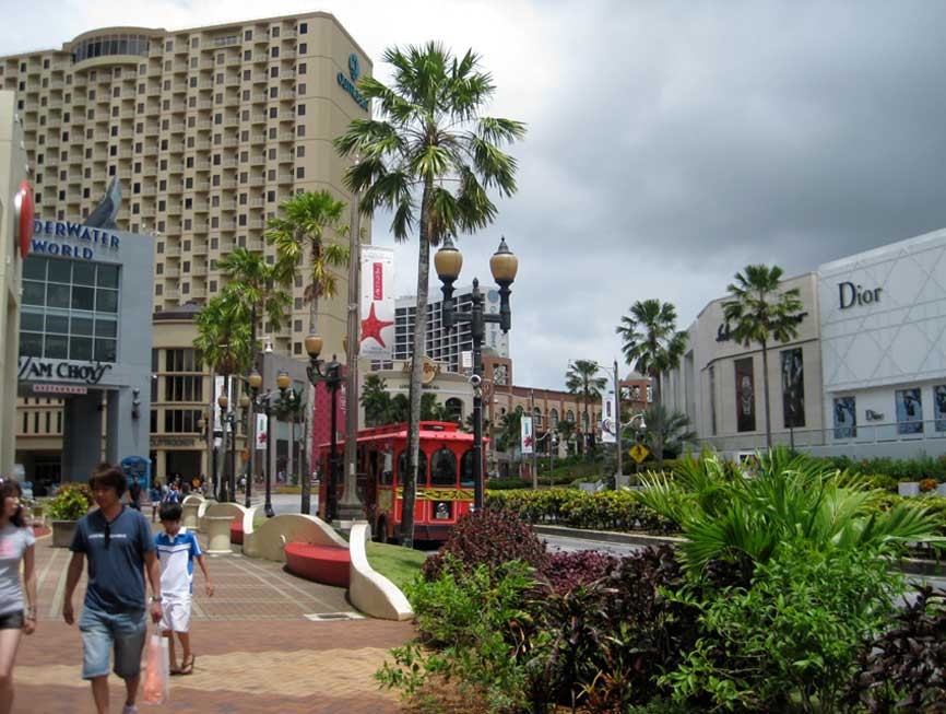
Guam, a U.S. territory, is the largest and most populous island, considered the “gateway” to Micronesia and a hub for the region.
The Commonwealth of the Northern Mariana Islands (CNMI) is a U.S. Commonwealth consisting of 14 islands just to the north of Guam, and along with Guam, forms the Mariana Islands archipelago.
The Federated States of Micronesia (FSM) and Palau are both independent island nations in a Compact of Free Association with the U.S. and together make up the nations in Caroline Islands archipelago to the south of Guam.
The Republic of the Marshall Islands is also an independent island in a Compact of Free Association with the U.S. approximately 1500 miles to the east of Guam, and is comprised of many small low lying islands and atolls.
Click Here to View Desitinations of Micronesia
For those of us who seek out locations where dreams long for reality, there are still a few left in the world where unspoiled landscapes, epic adventures and the romance of a secluded lagoon and forgotten beach can become reality. Beneath expansive azure skies and seemingly infinite stretches of both turquoise and deep blue water ahead, the region of Micronesia is still one of those places.
As modern technology and communication connect the world at an ever greater pace and the once exotic places of yesterday become increasingly rare today, it is refreshing to find hidden jewels still available for exploration, admiration, and yes, even relaxation.